
Drone based photography and video of construction sites is a quickly deployable and cost-effective way to keep off-site managers, partners, and investors up-to-date on work progress, visualize site planning, and identify safety issues.
Drone based site mapping provides 2D and 3D progress models that can be overlaid on site plans or renderings, used for measurements, and can help track/plan excavation through volume calculations.


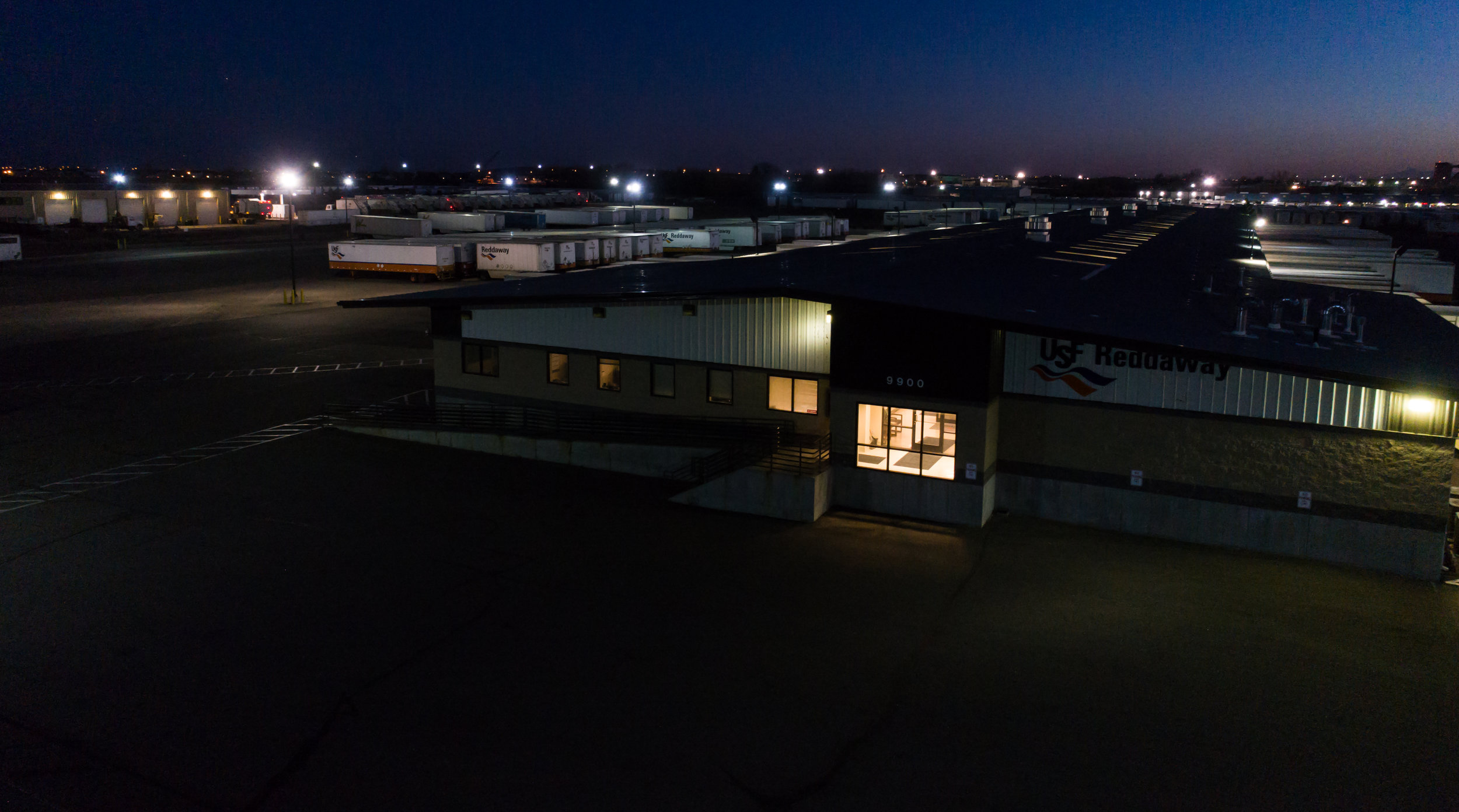
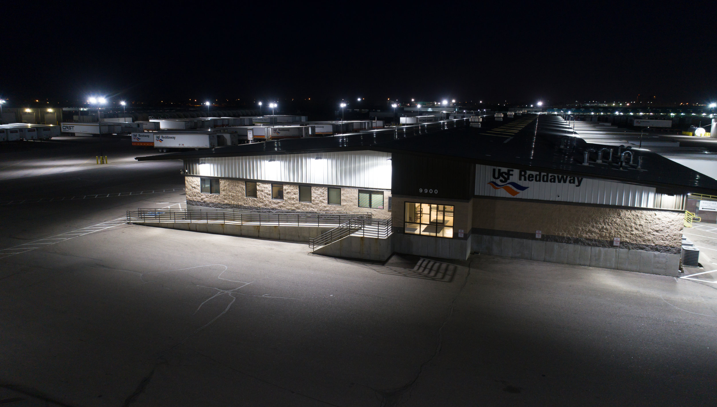
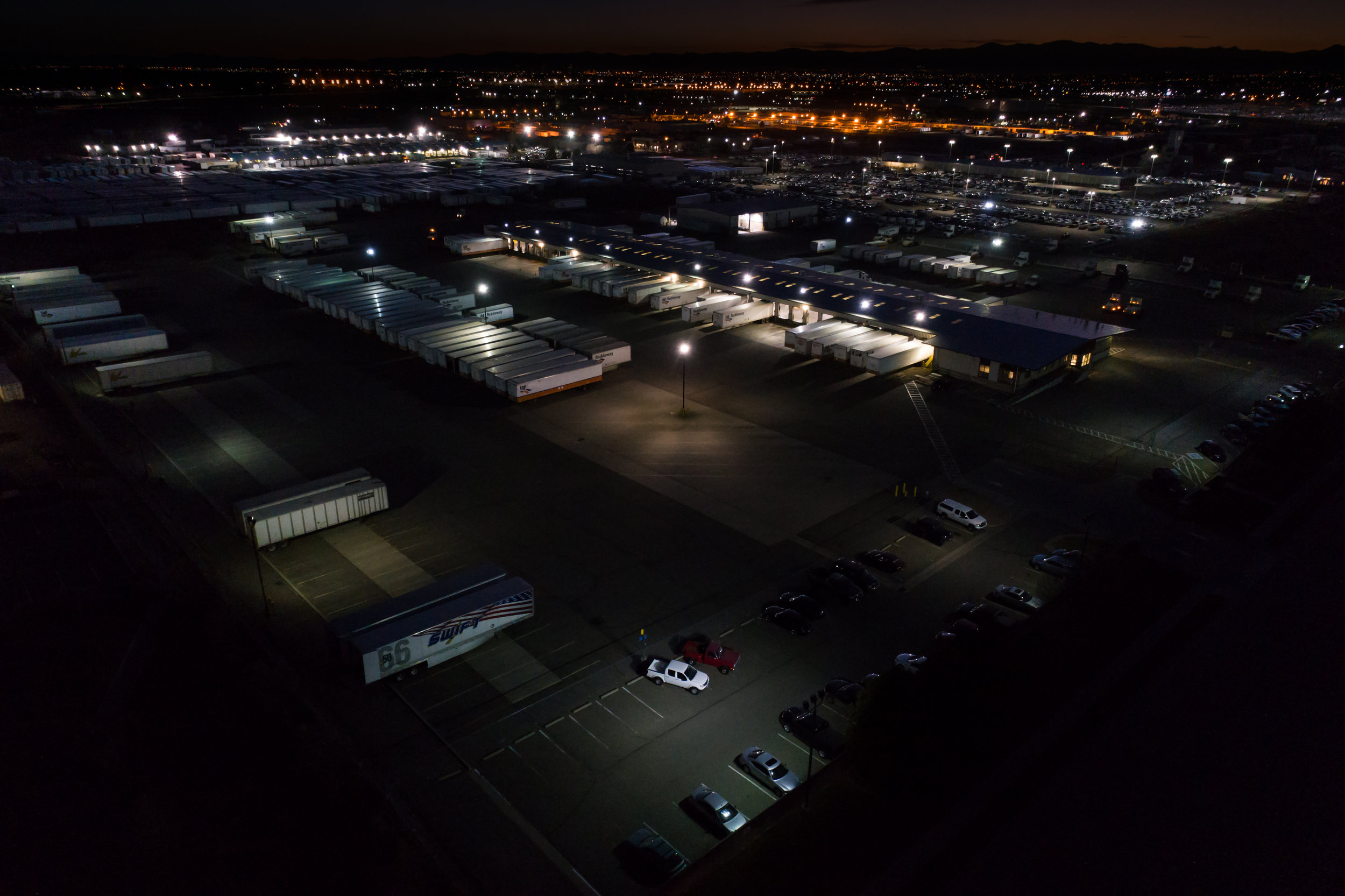
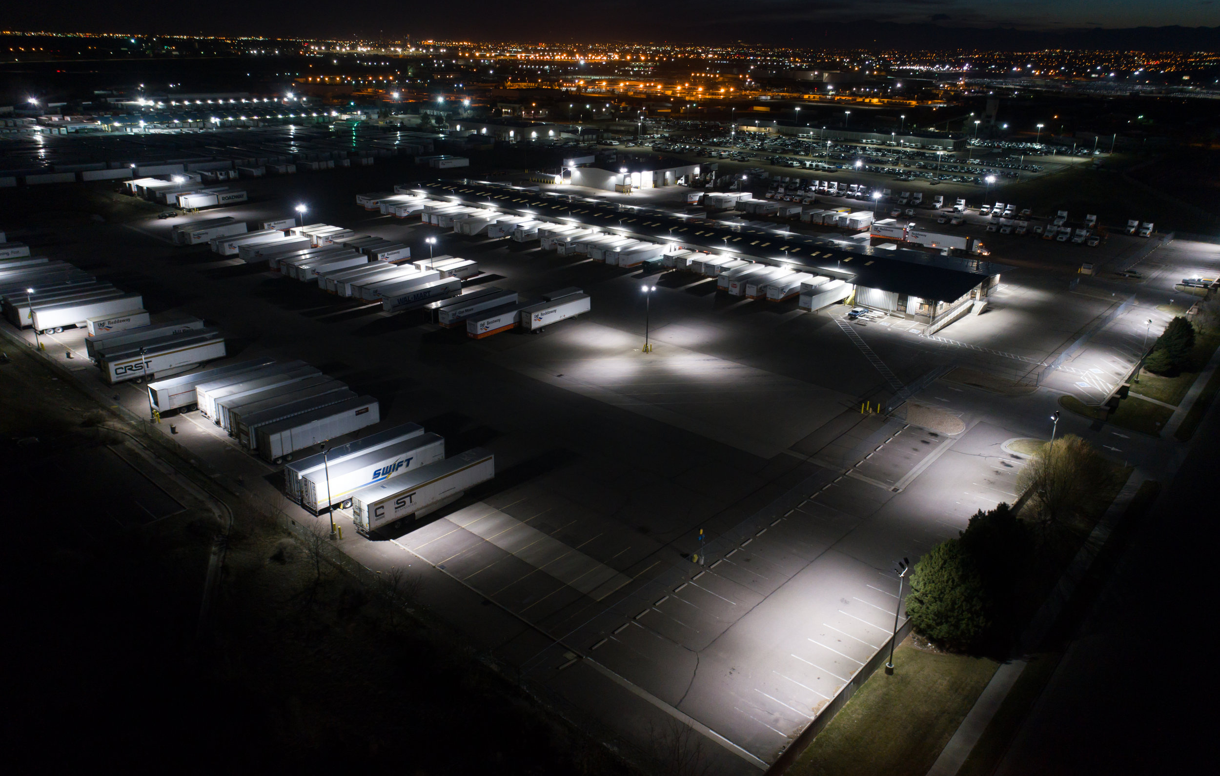
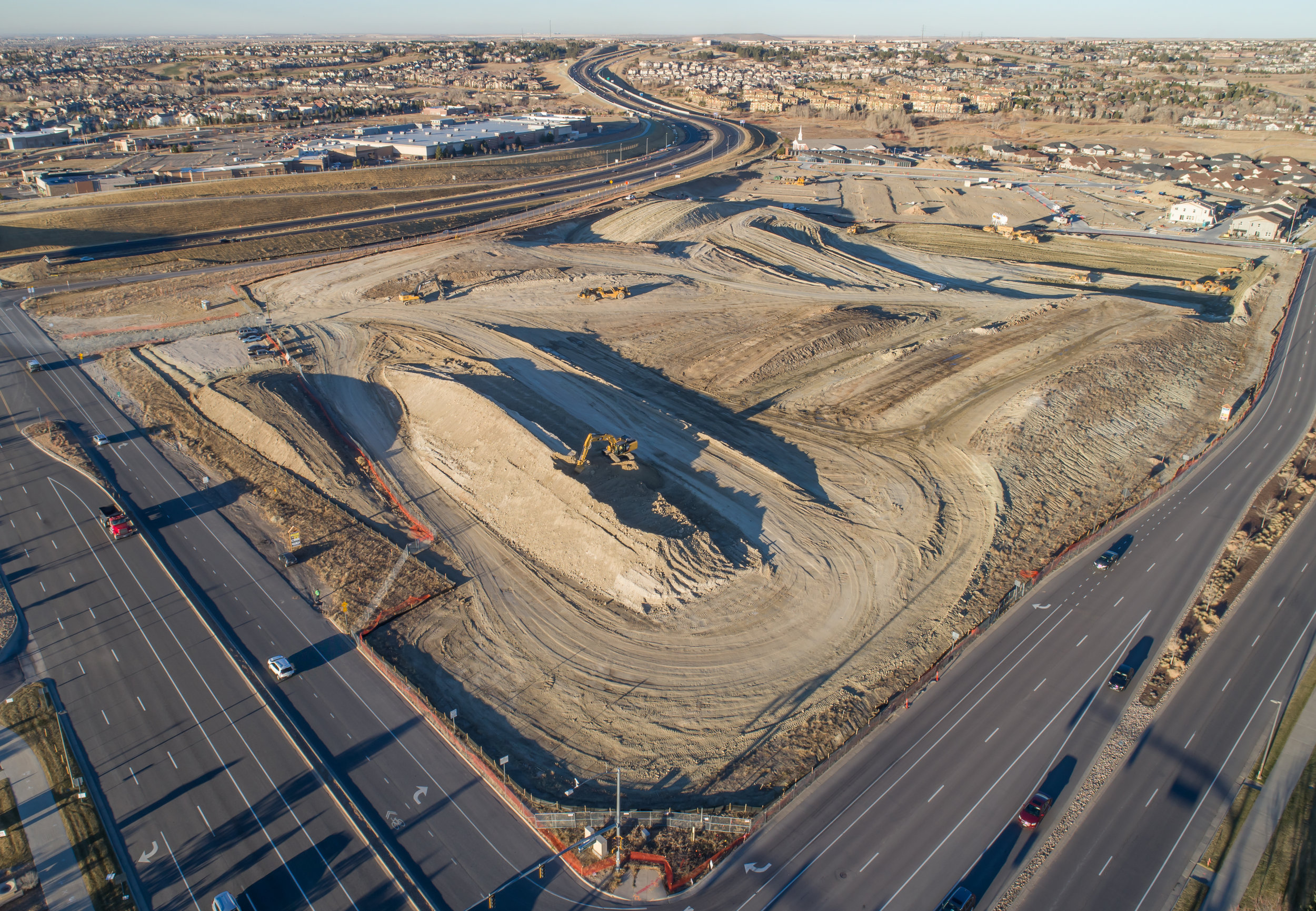
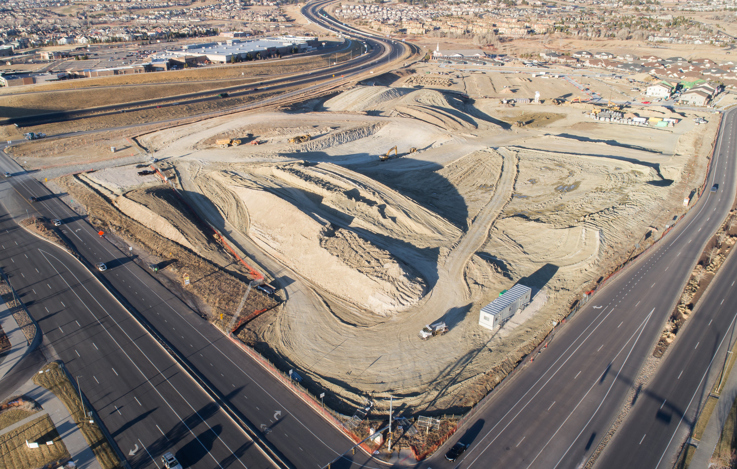
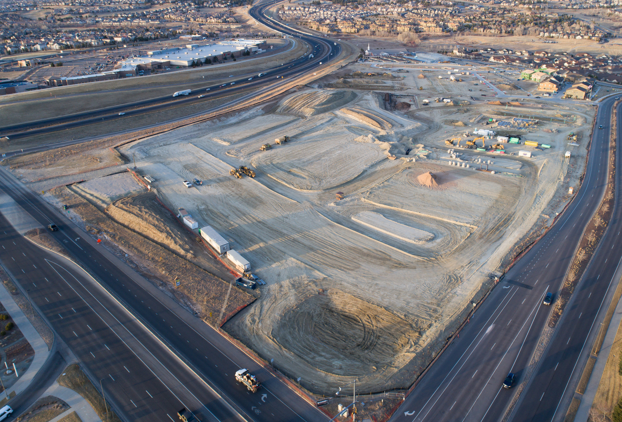
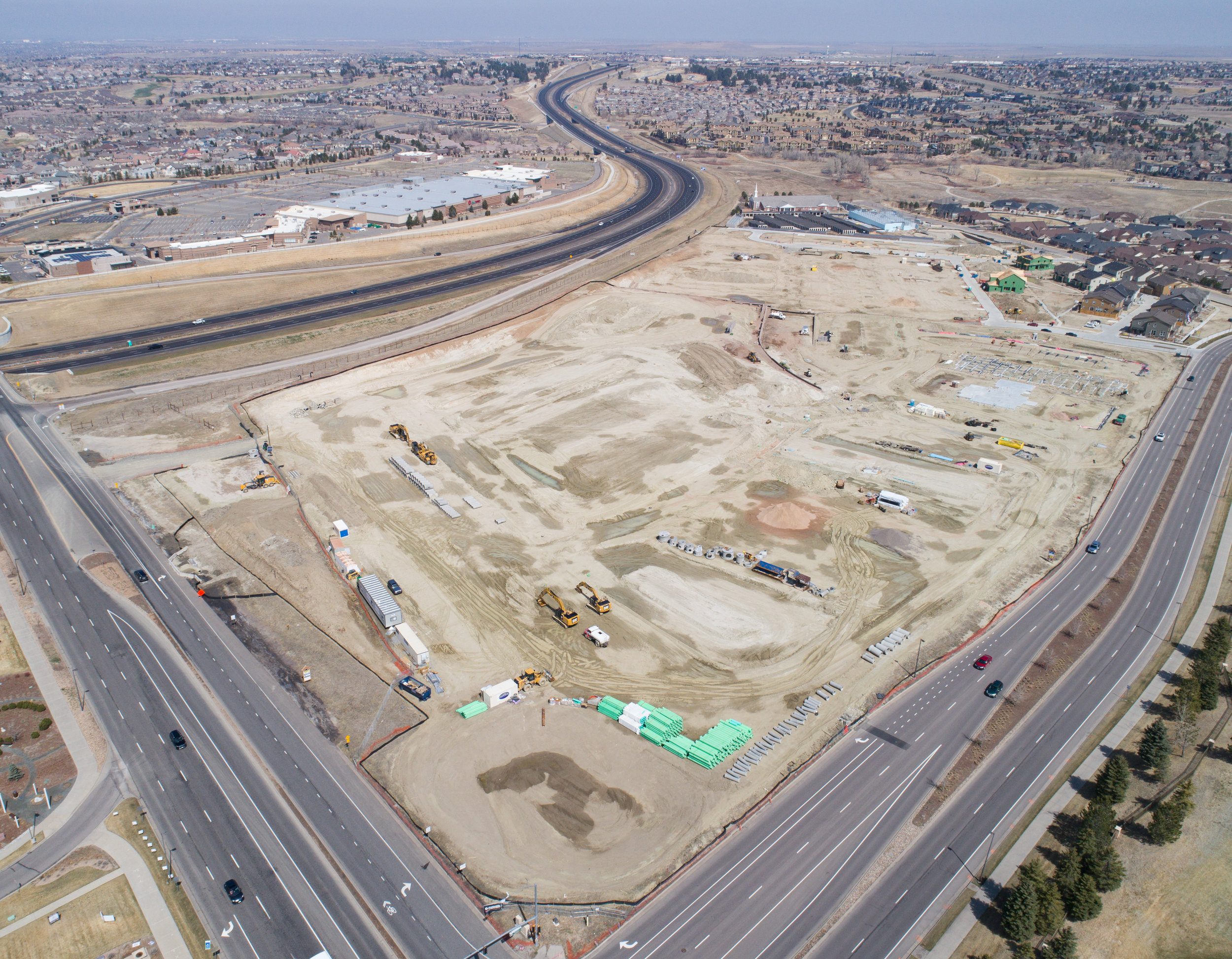
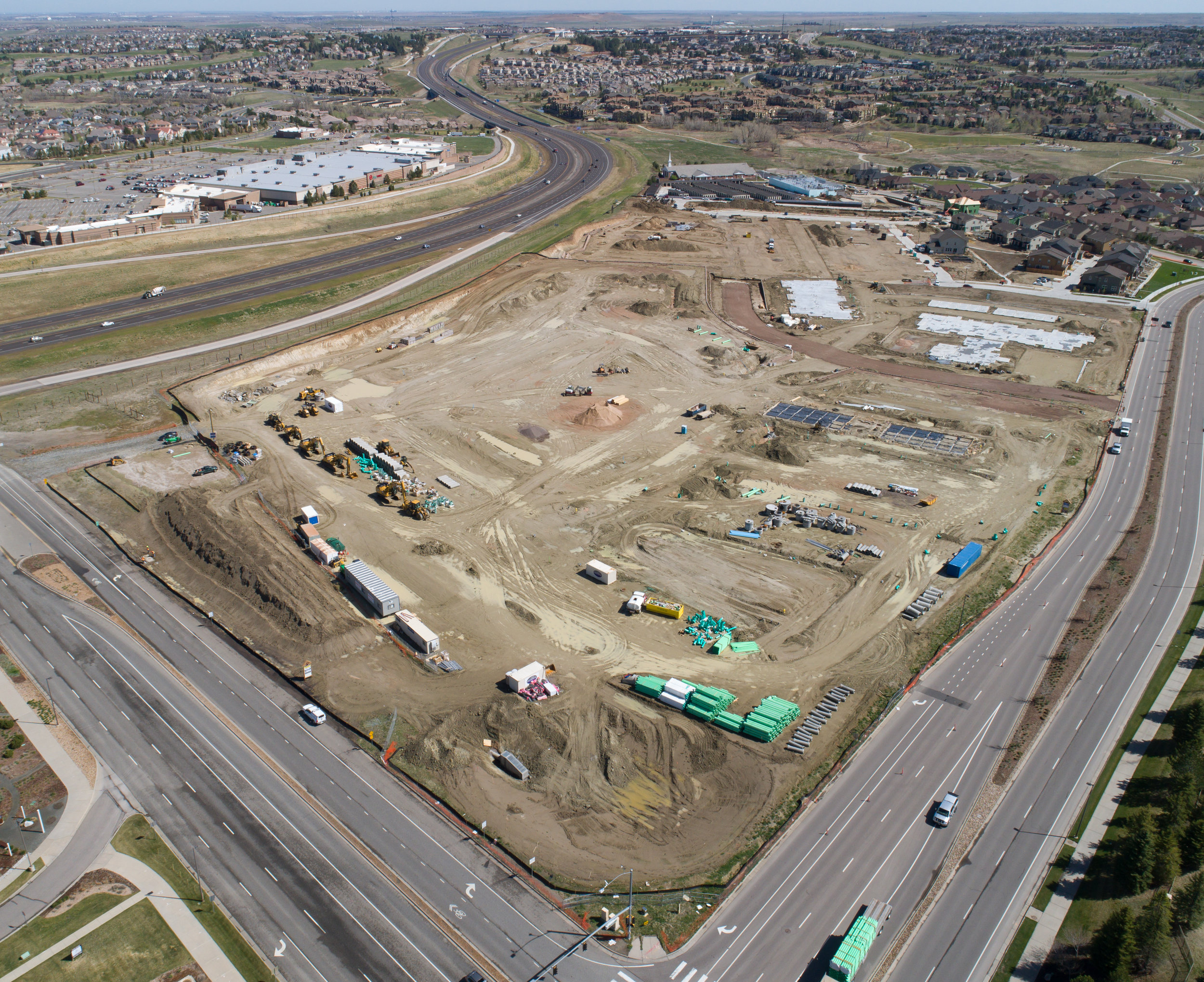
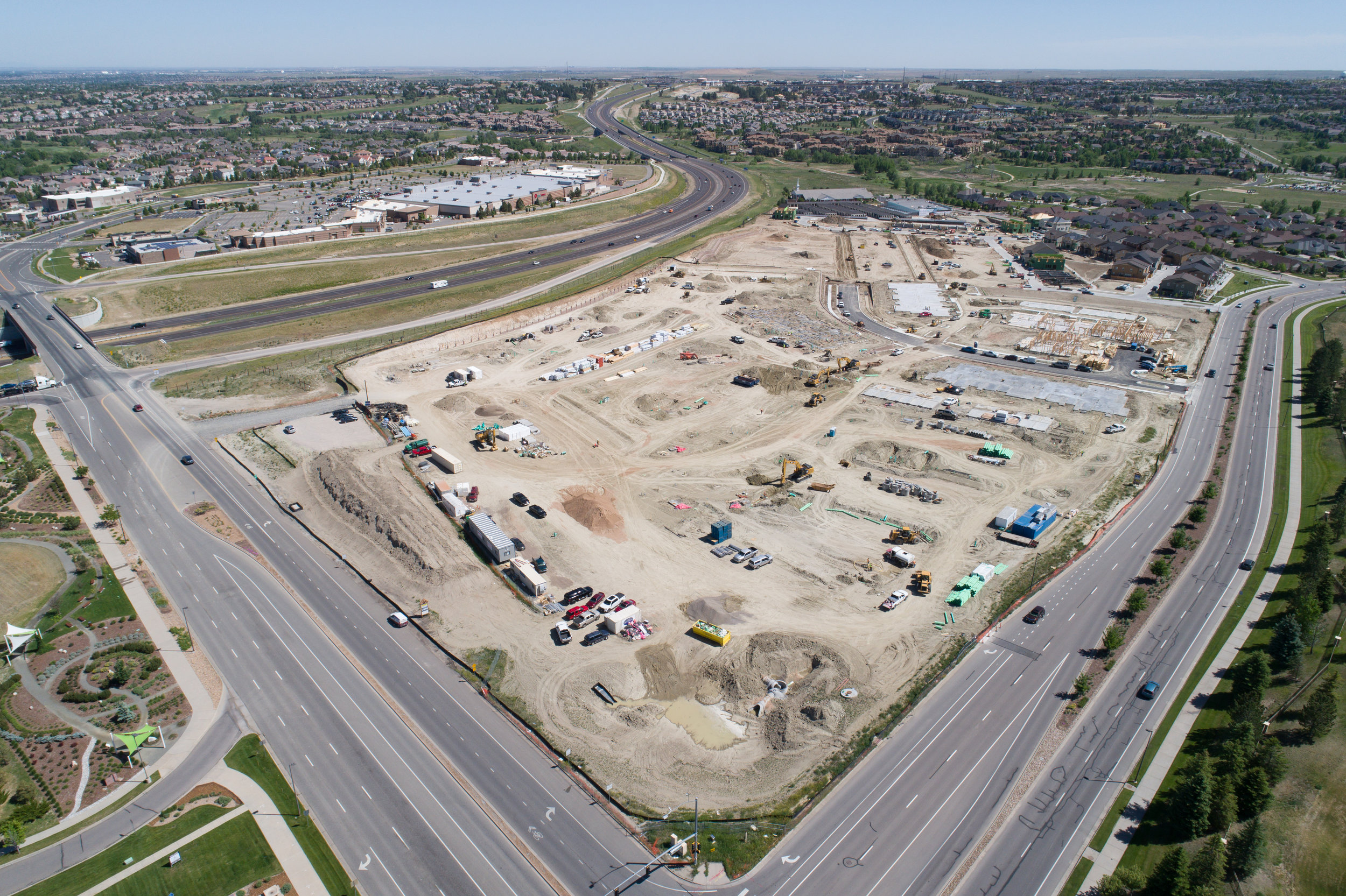
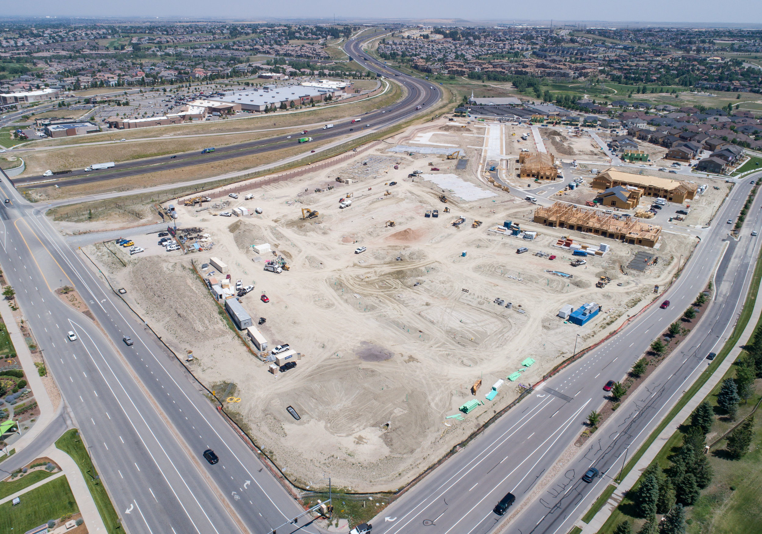
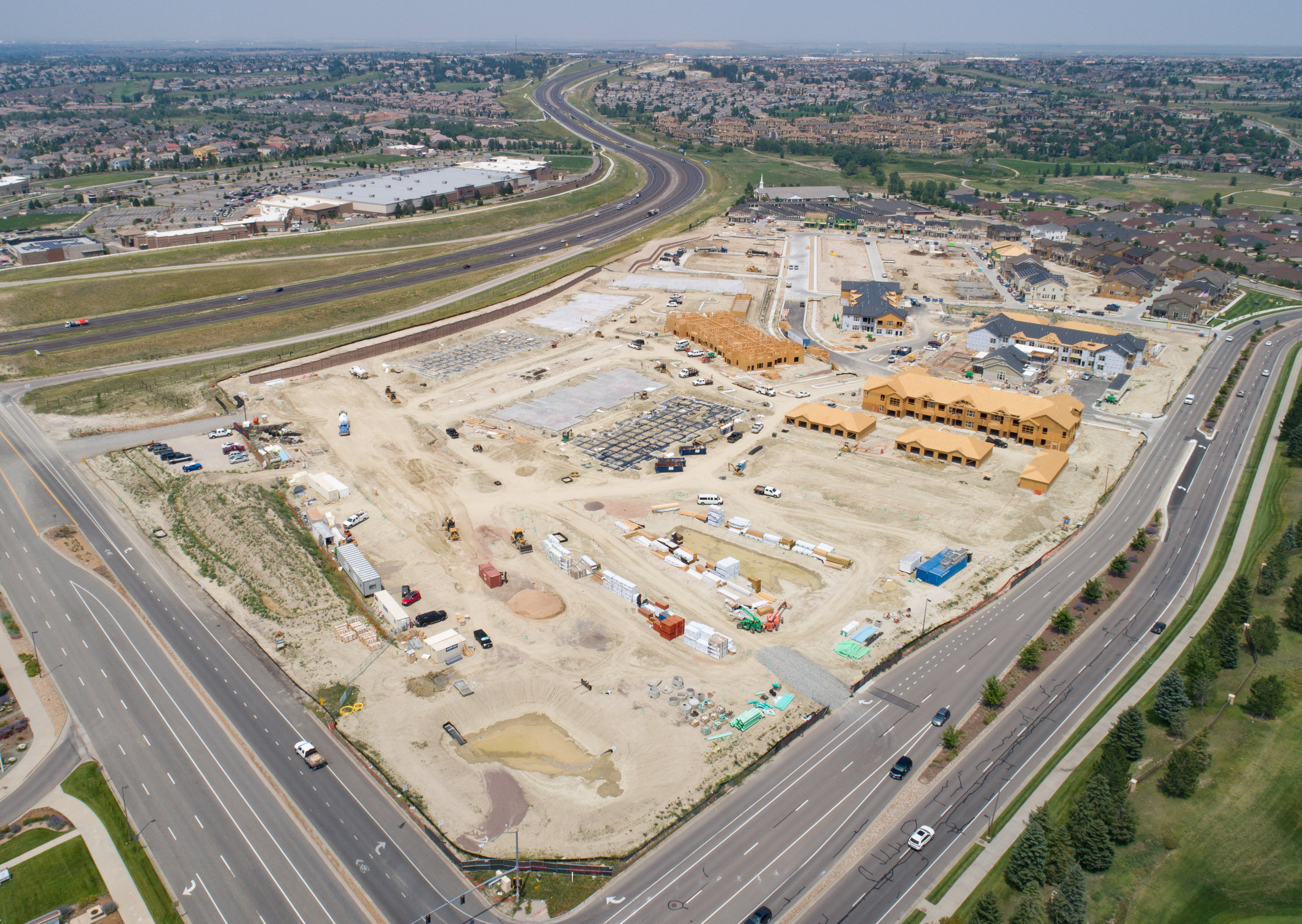
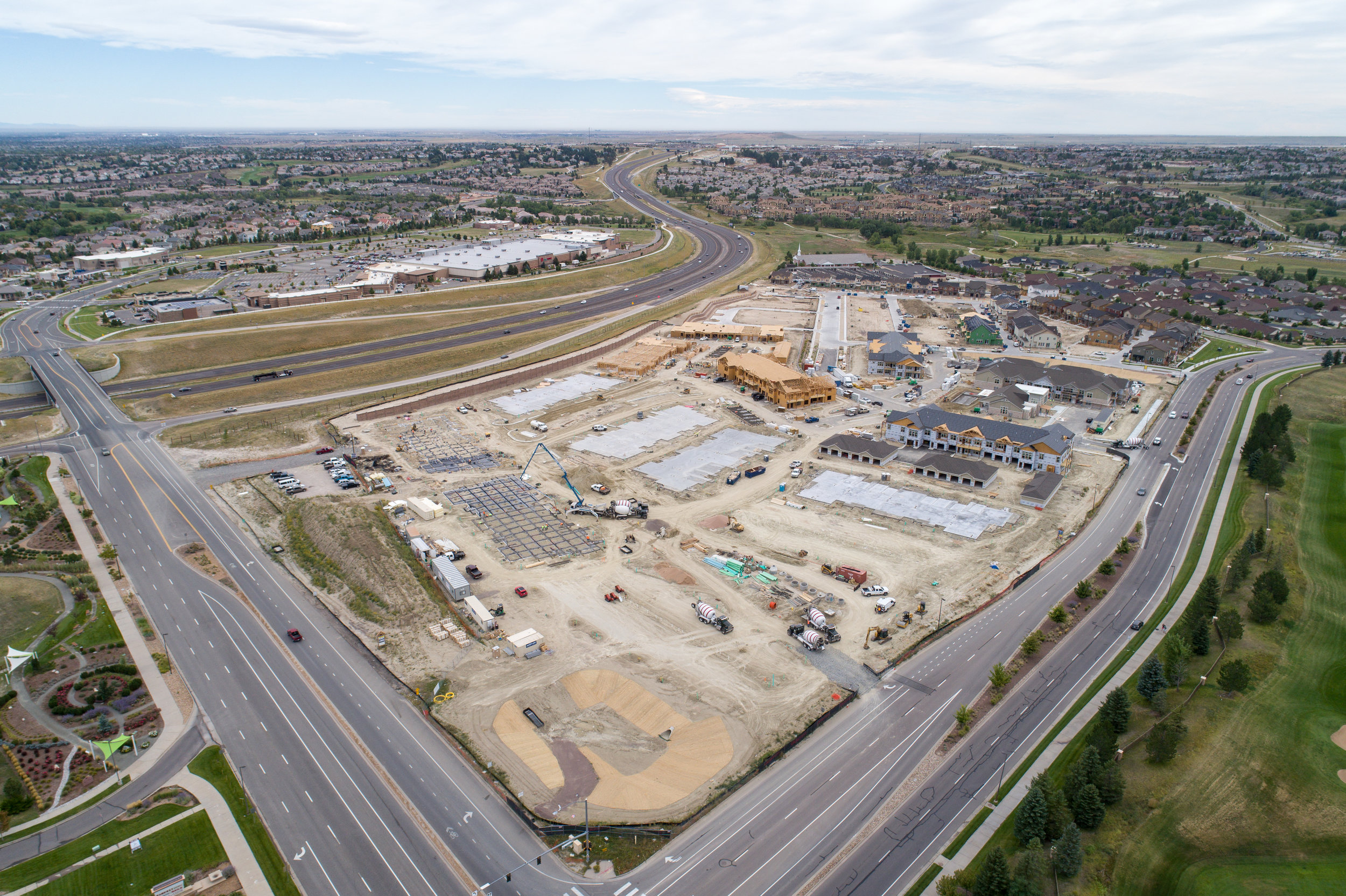
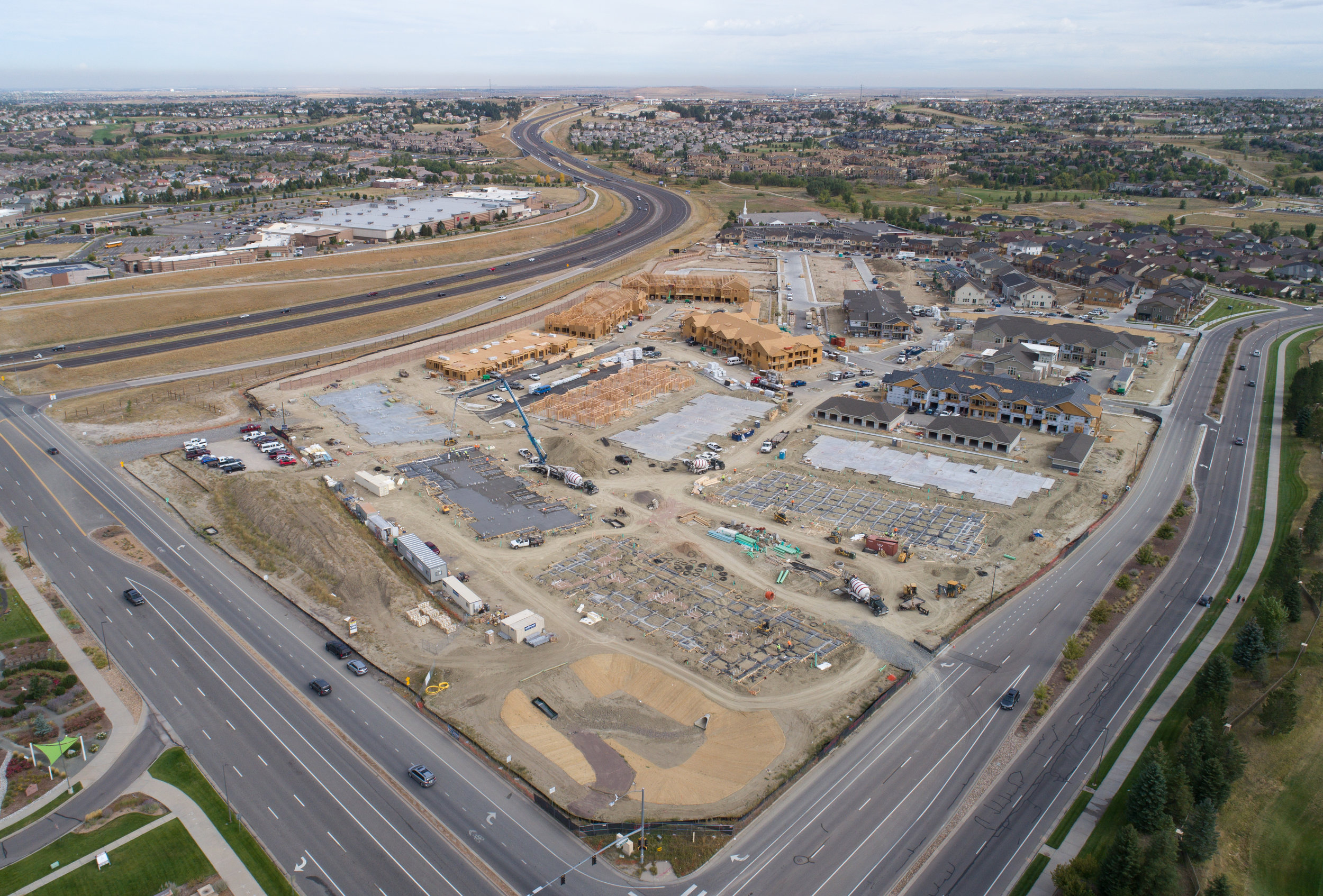
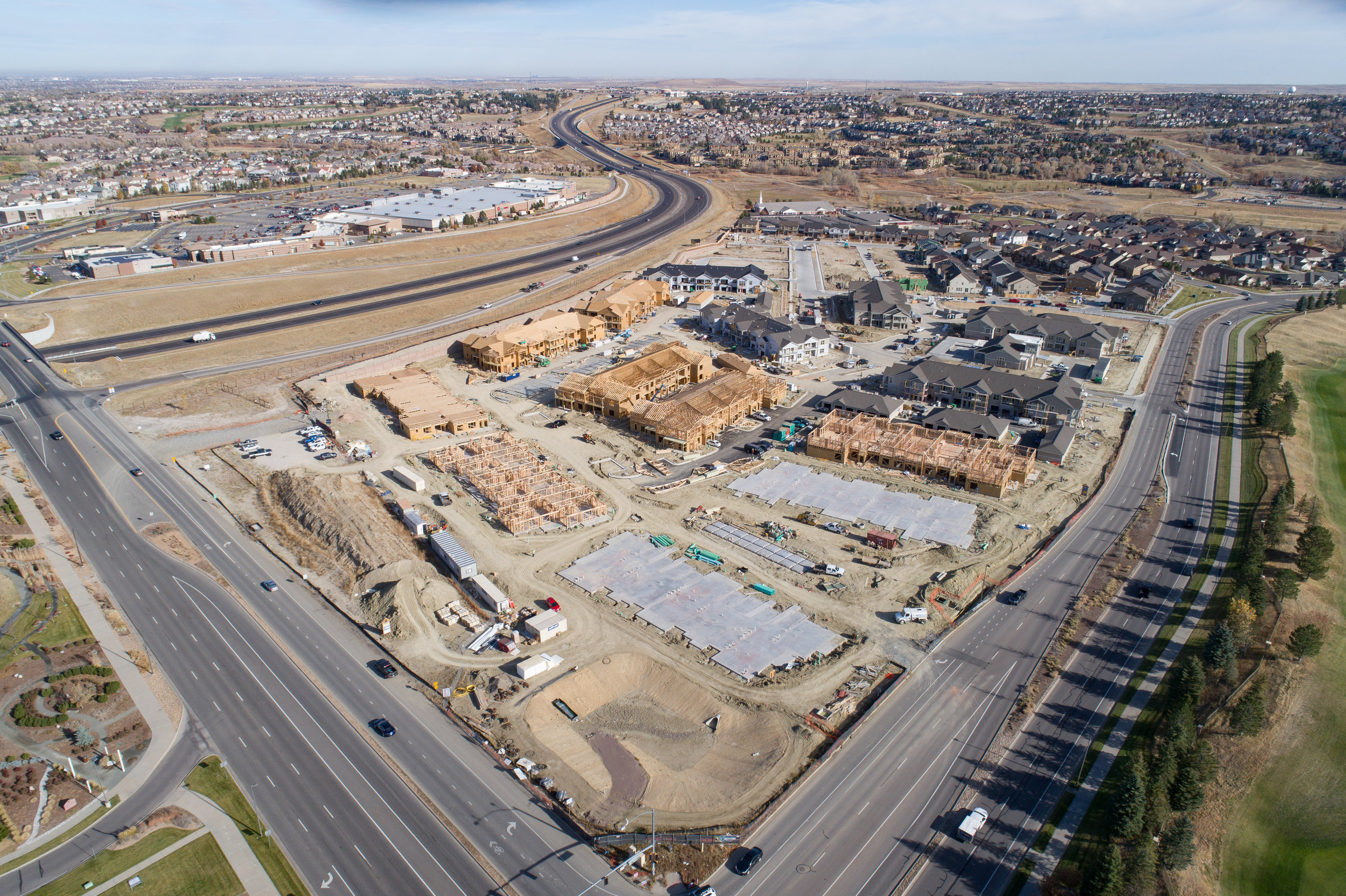

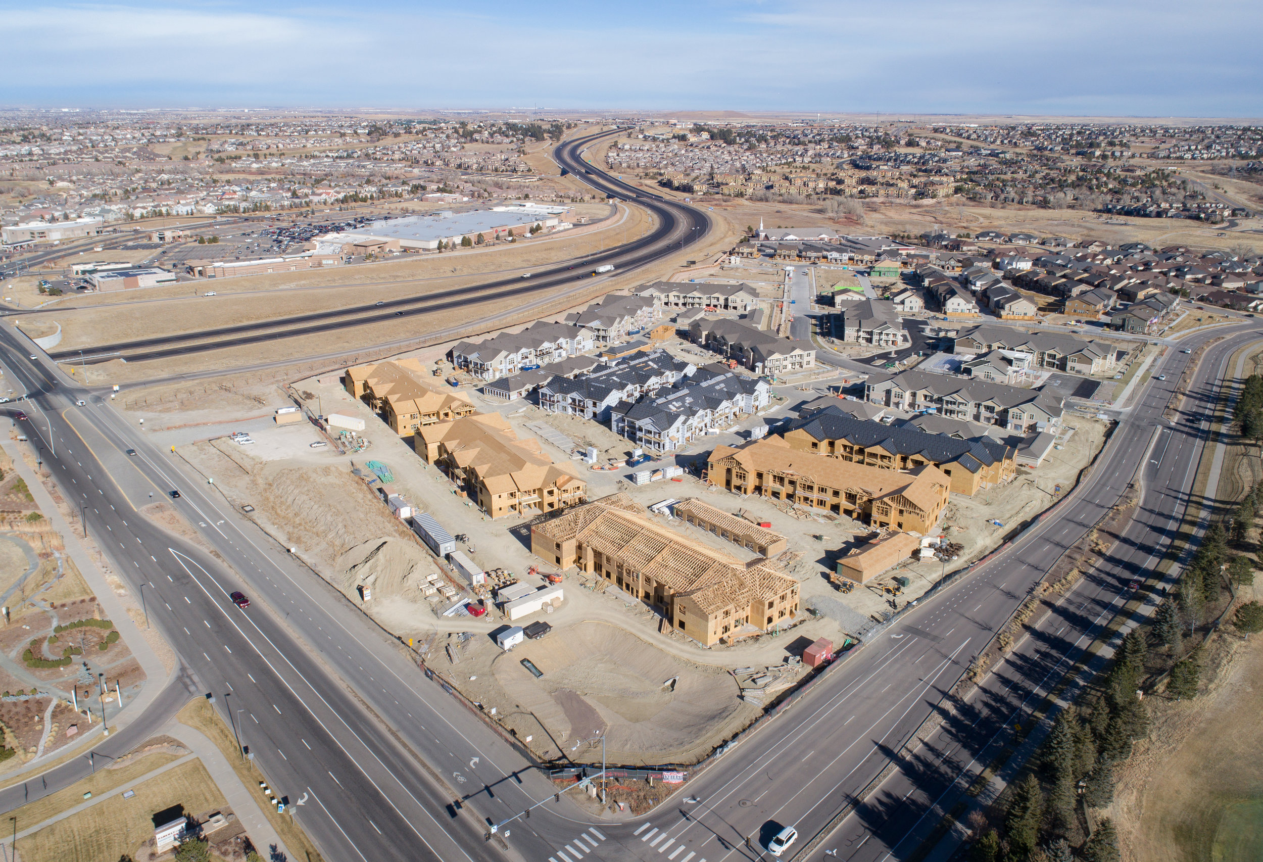
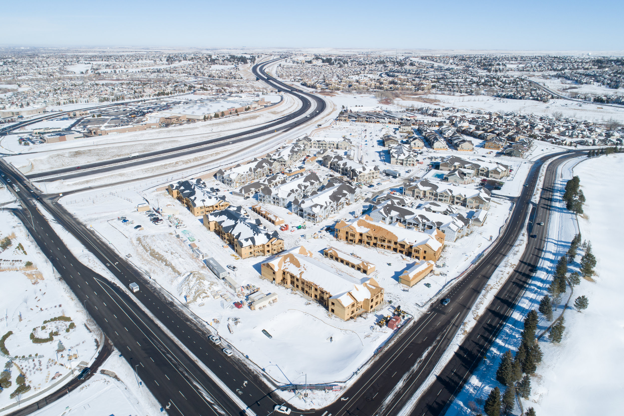
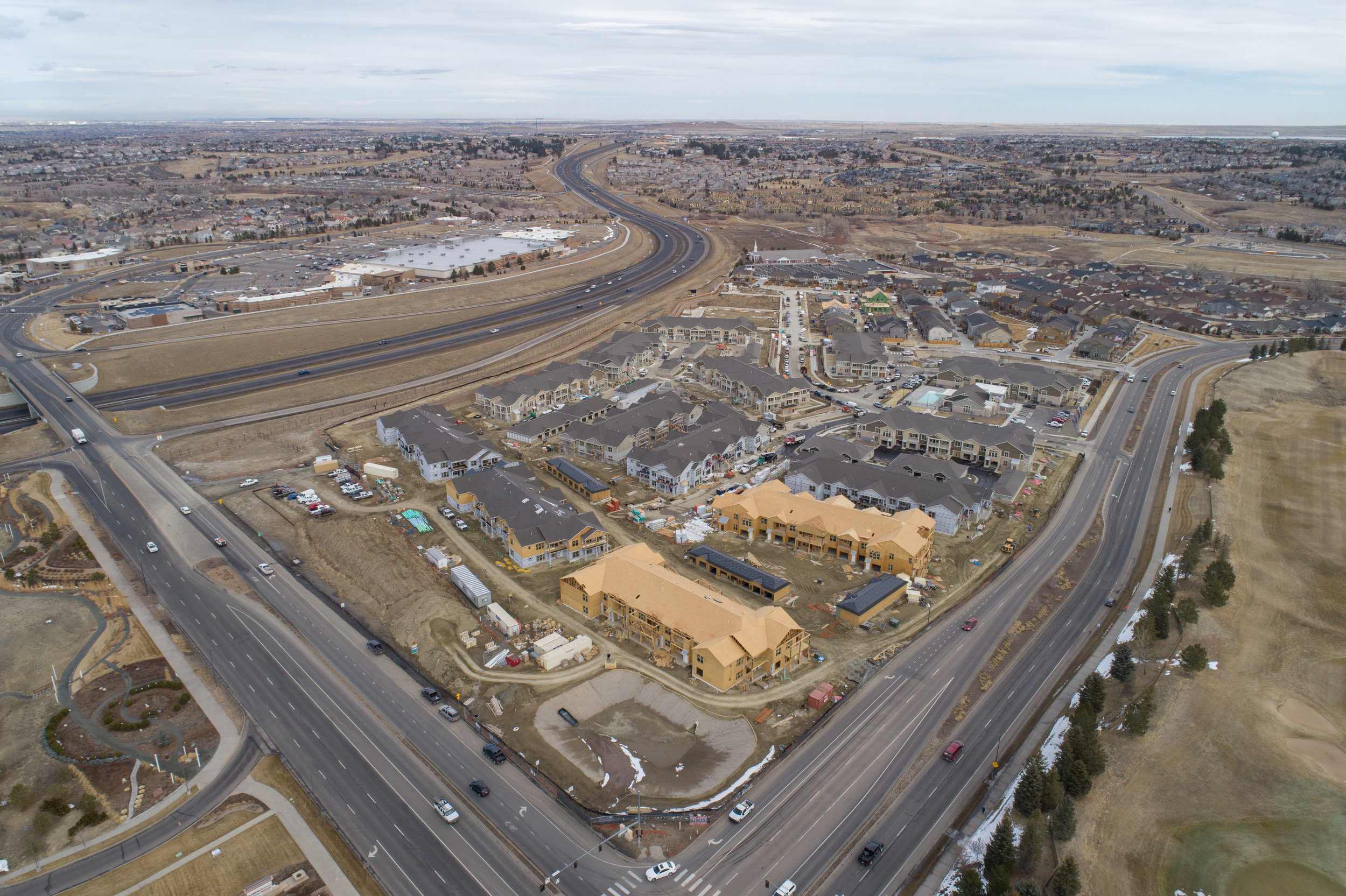
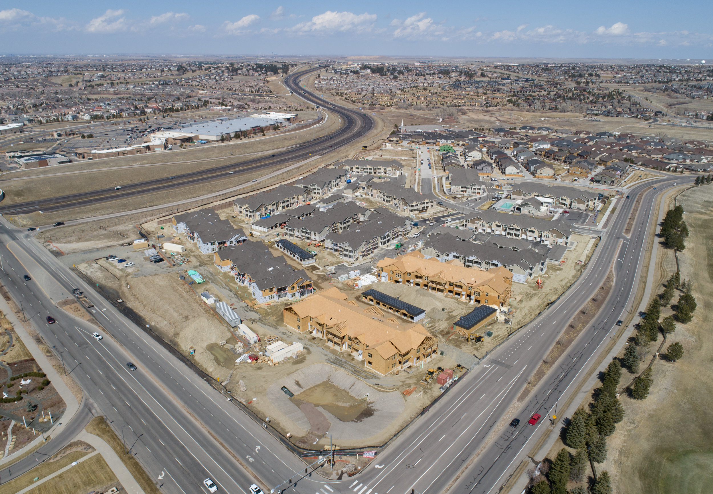
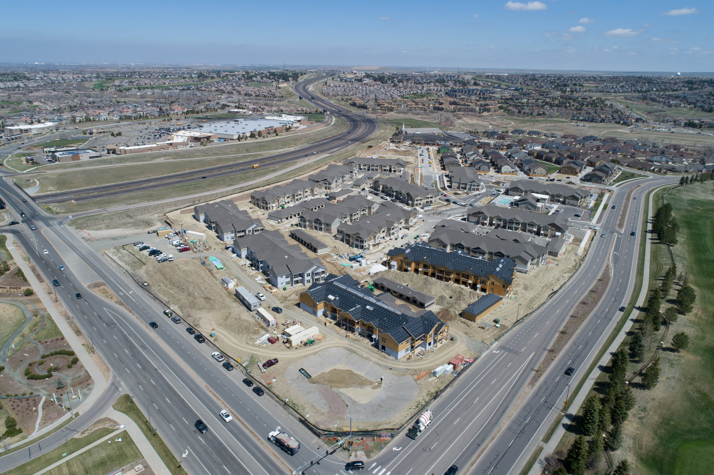
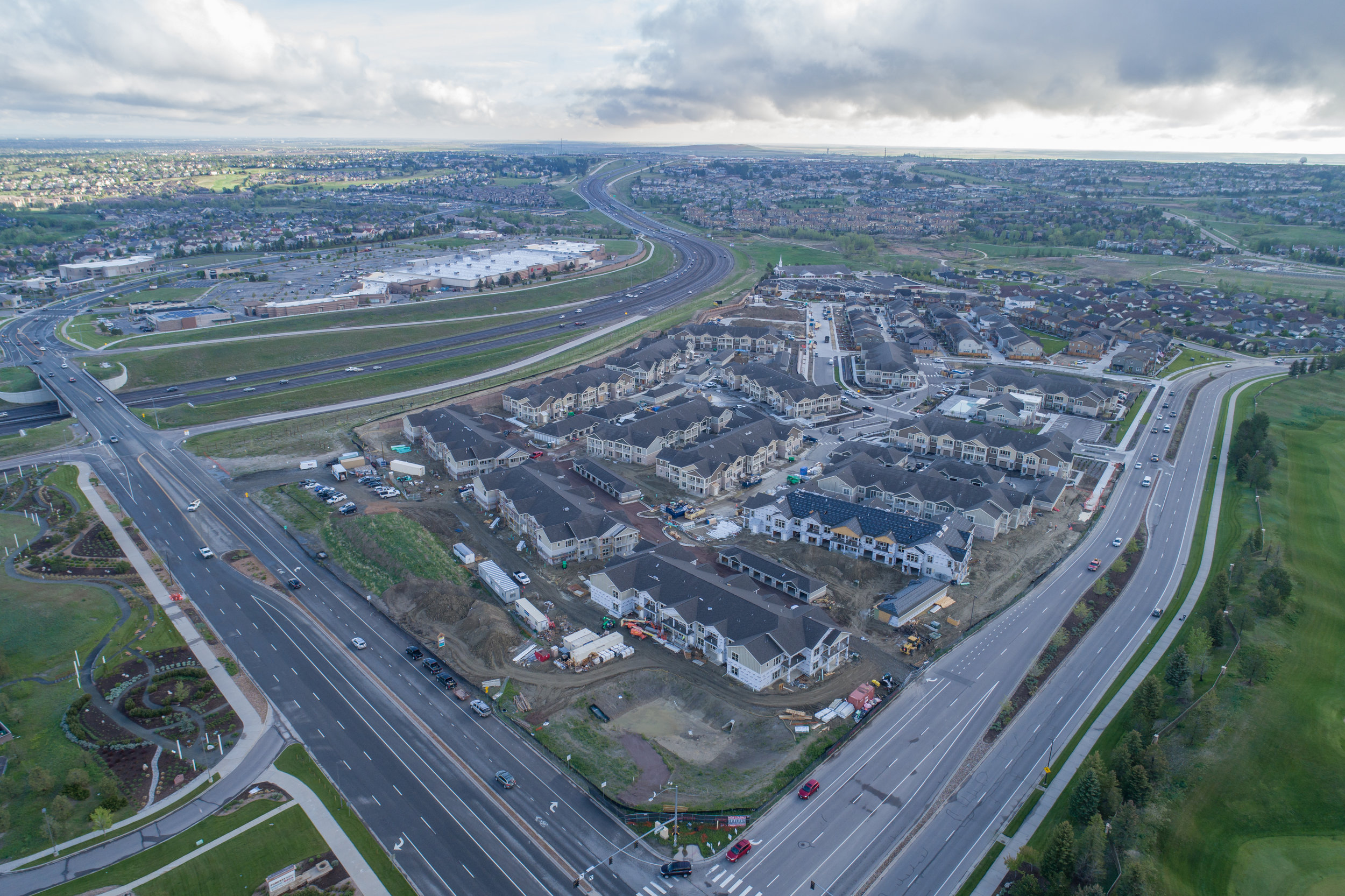
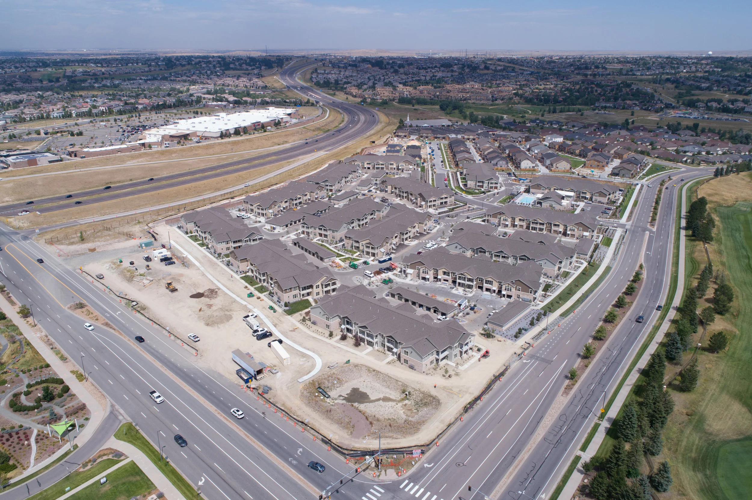
Progress Update Photos
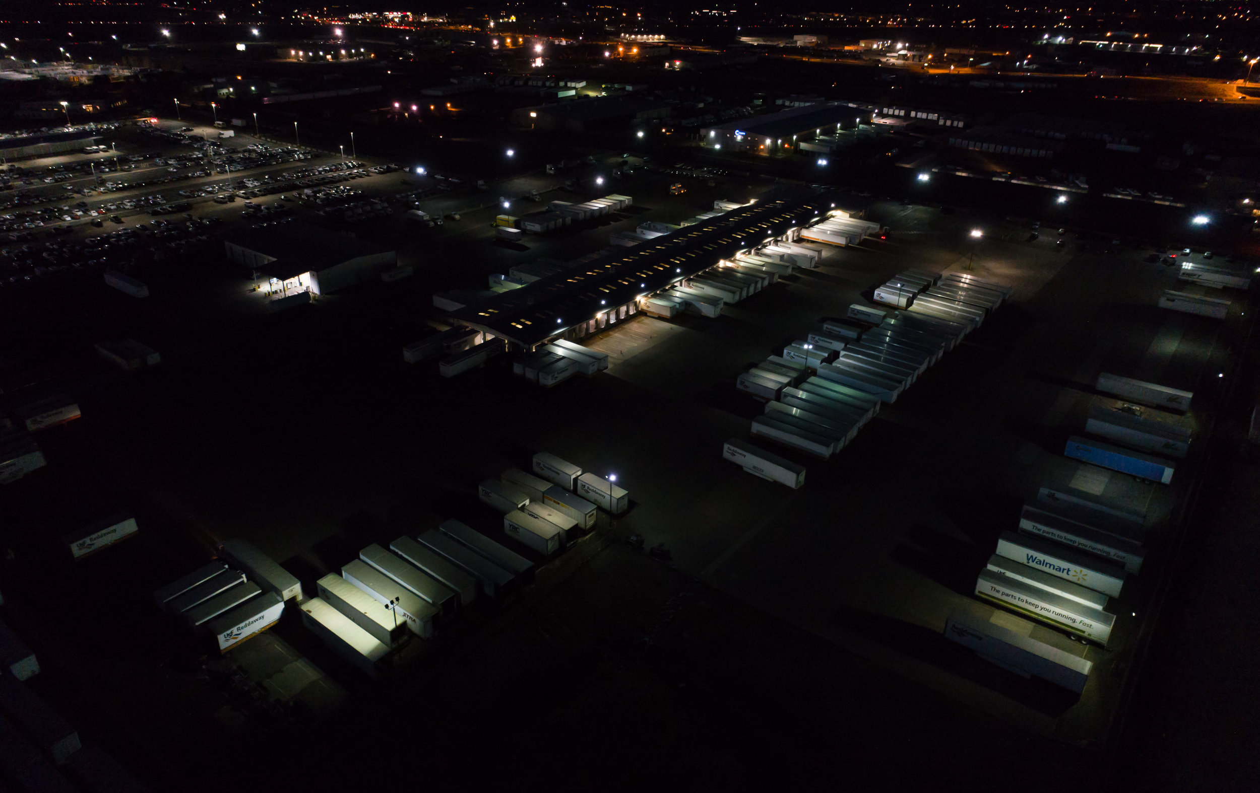
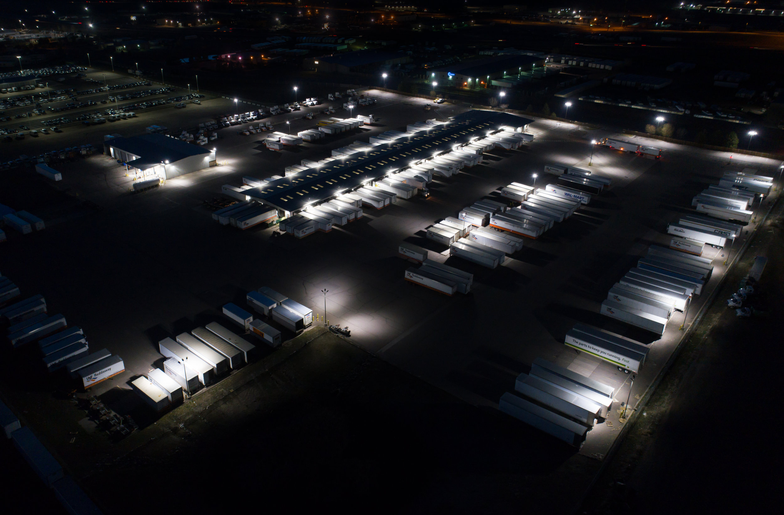
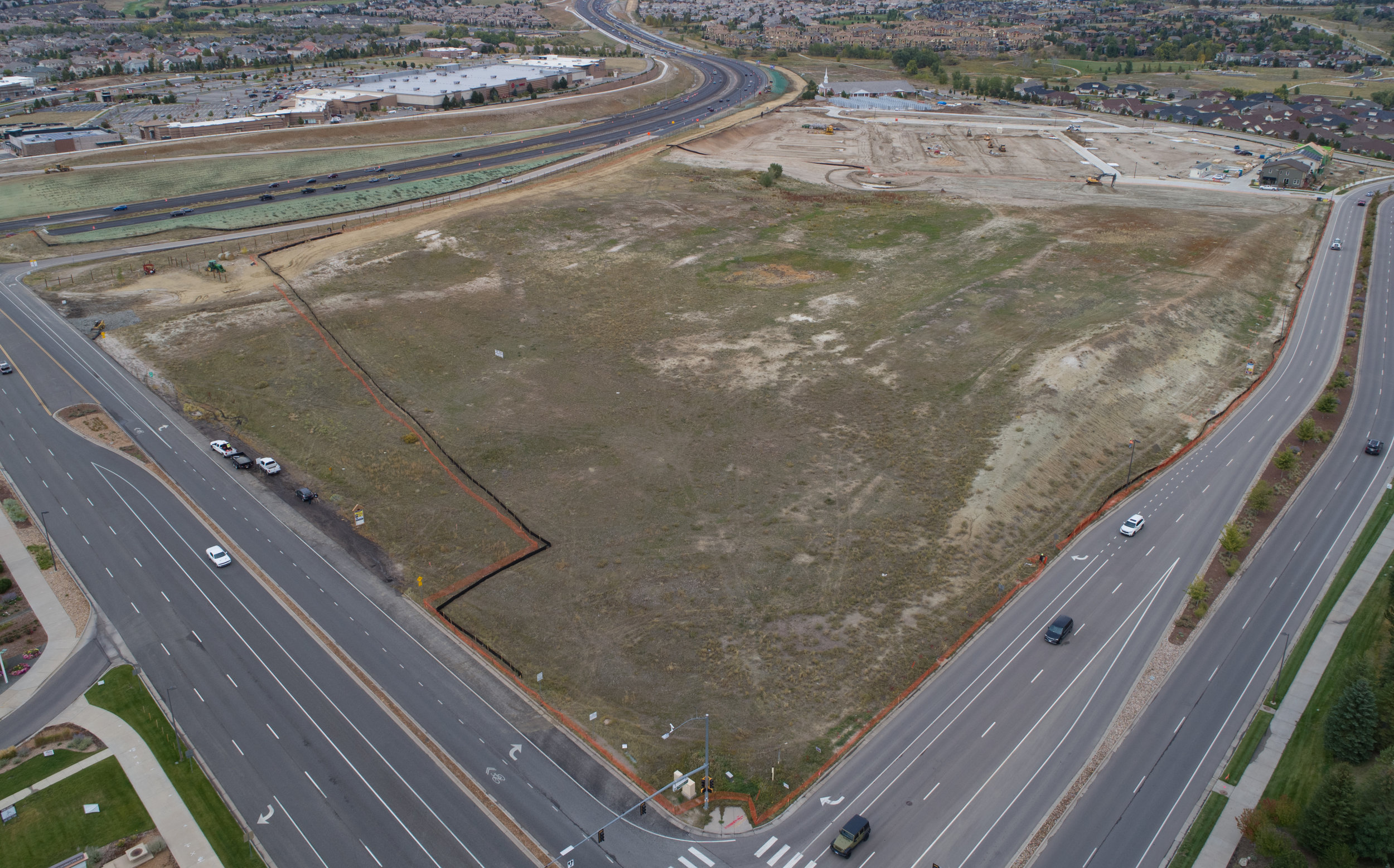
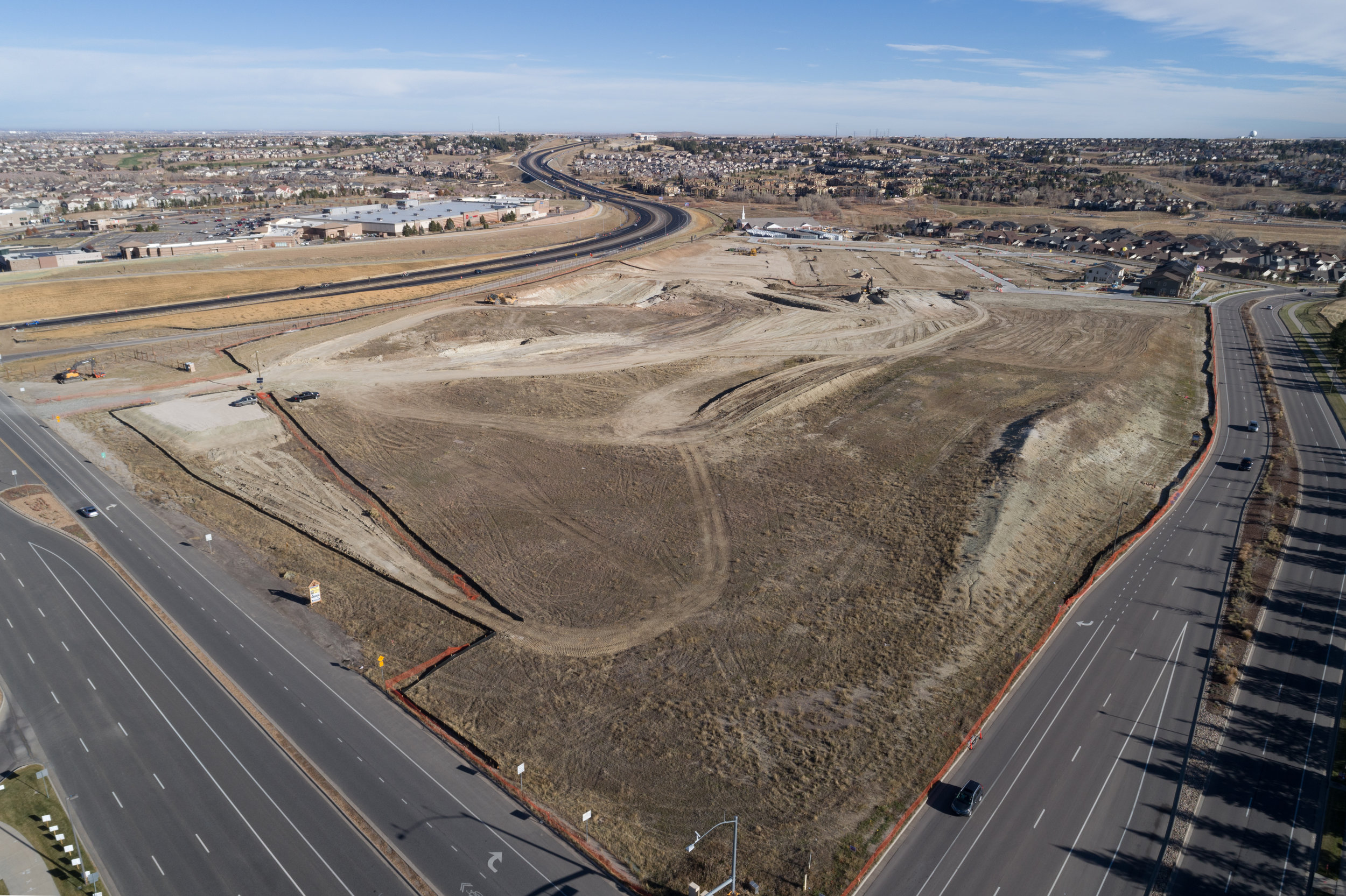
By far the most popular usage for drones in construction is taking site photos over regular intervals (typically every two or four weeks) or before/after photos of a major project. Especially in the greater Denver area, where many construction firms and property owners are based out of state, drone photos are a simple and effective way to keep all involved parties updated on construction progress.

NADIR images
Top-down photos are stitched together from multiple low altitude, high-detail shots to produce ultra-high resolution images (upwards of 100 megapixels) that can be used for site planning/visualization, rendering overlays, and large printed maps.
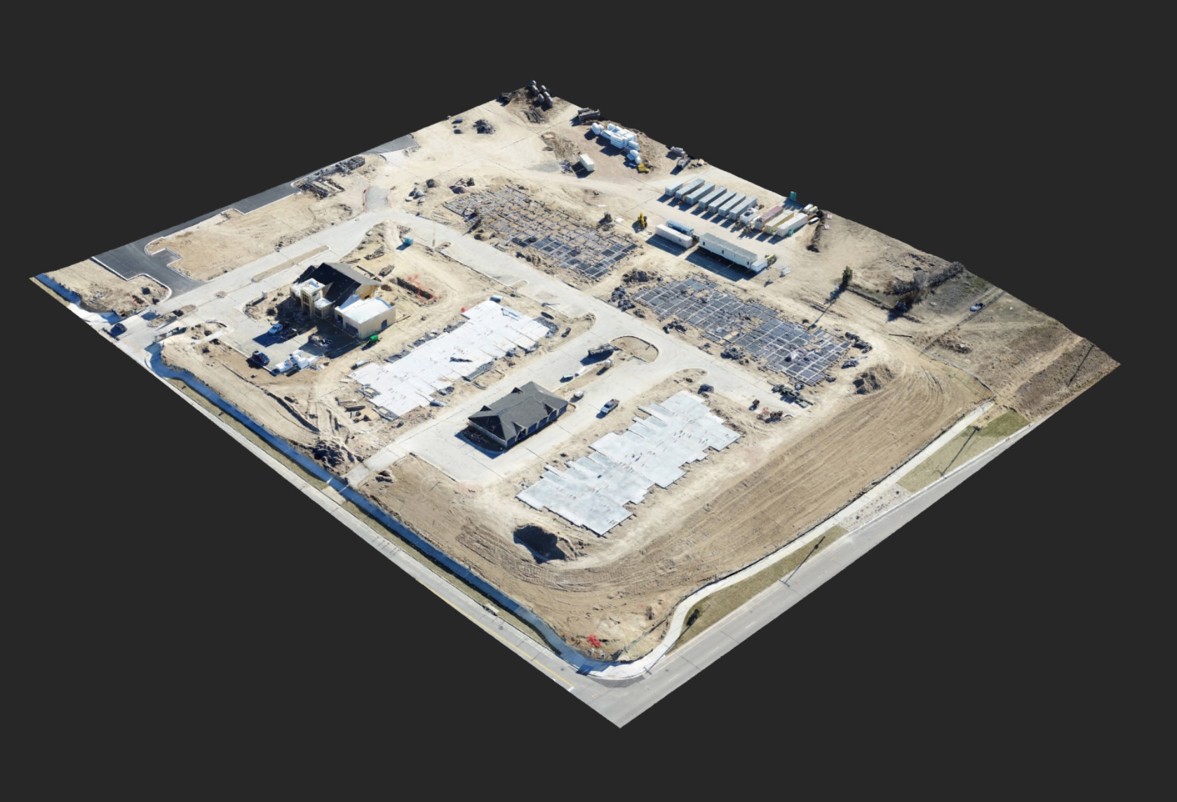
Mapping and Survey
Automated flight software provides accurate image capture for construction sites of any size. When input to our mapping software, these images generate GPS referenced, highly accurate 2D and 3D maps that can be used for straight line and volume measures, modeling in CAD software, and custom map making in GIS software. Please click the link below to be taken to our mapping and survey section.
